Mapping Drone Solutions in Dubai, UAE
There is no denying the fact that the process of mapping has become hugely advanced due to the induction of drones and the post-mapping data available to operators. Mapping drone solutions have come a long way with highly advanced payloads that make land surveys, photogrammetry, 3D mapping, topographic surveying, and more, not just easier but extremely efficient and reliable. Here’s a look at the mapping drone solutions we offer.
At Aero Smart UAV Trading L.L.C., we provide innovative mapping drone solutions for both the UAE and Dubai and the entire MENA region. Our company delivers GIS surveying 3D data collection tools using professional drone technology to enable businesses. We work with reputed dealers to offer end-to-end services for organisations that require dependable geospatial data solutions.
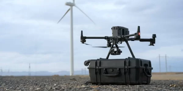
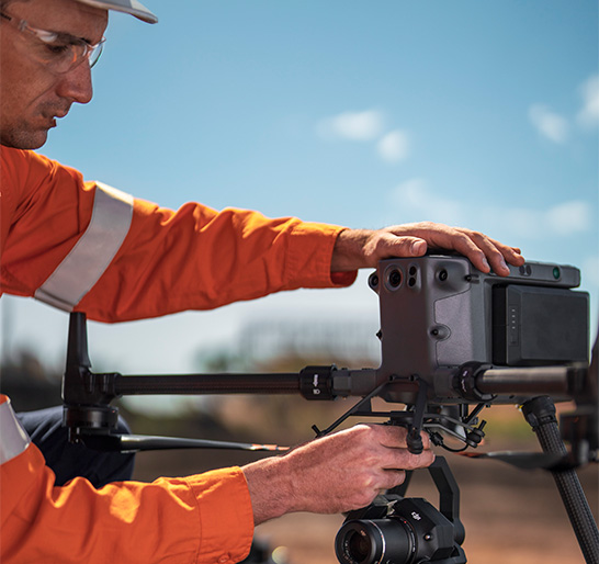
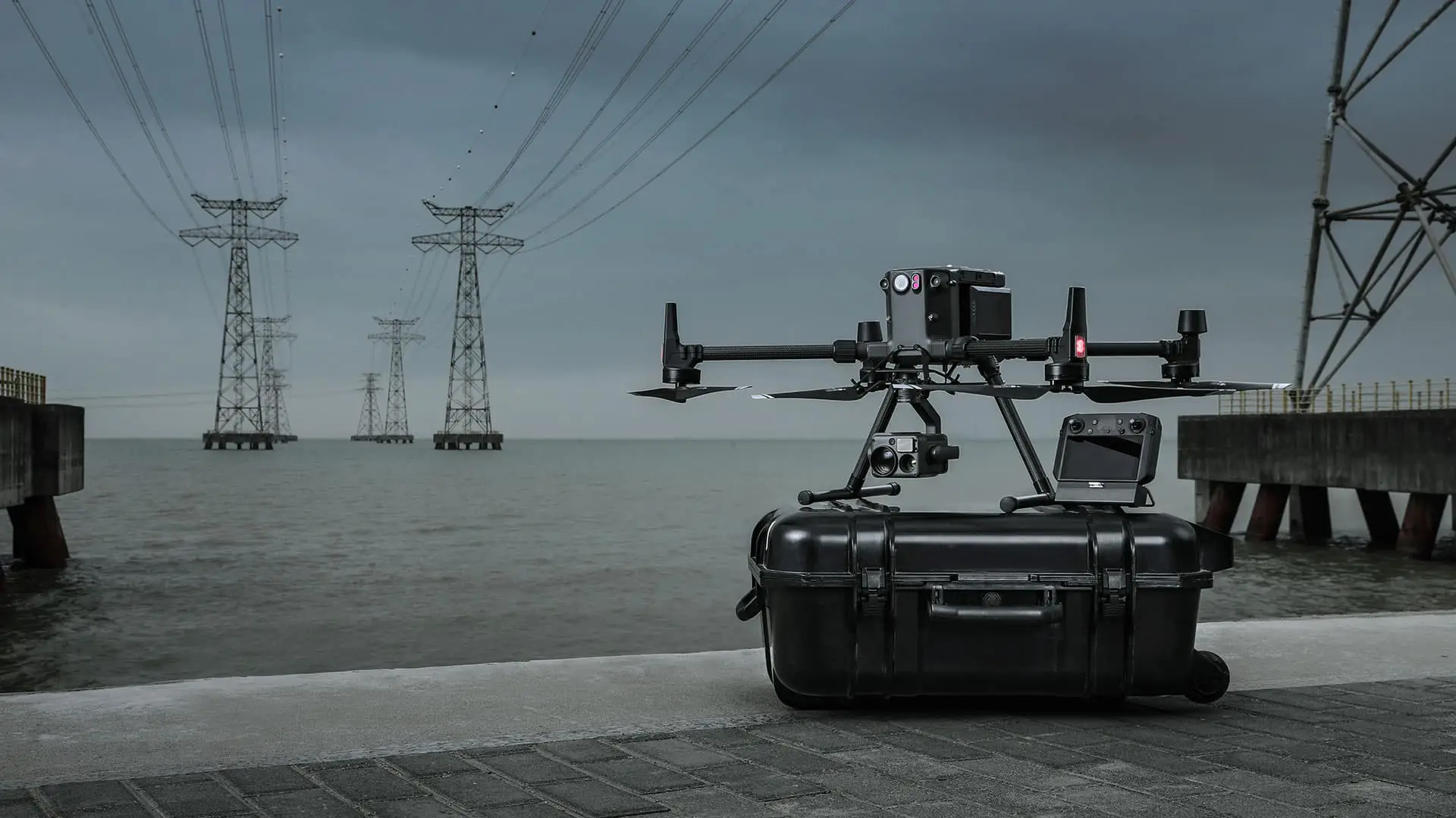
DJI Matrice 350 RTK
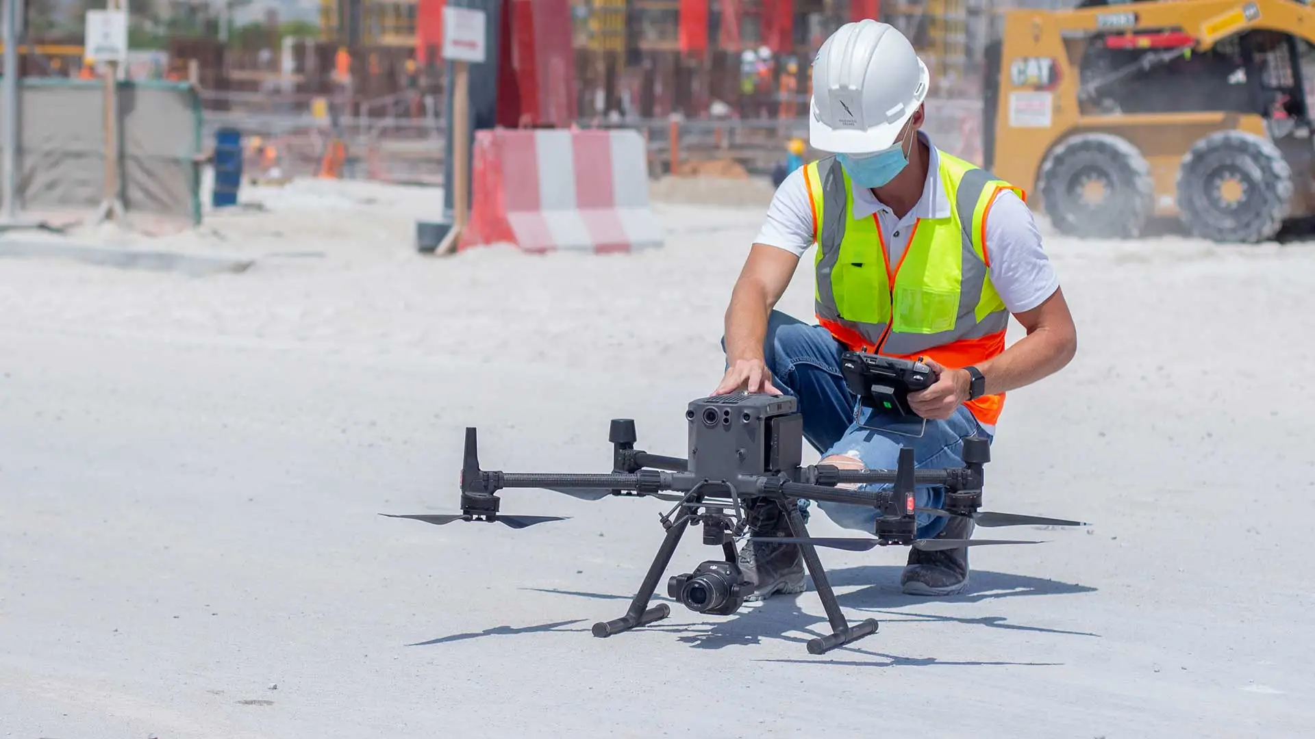
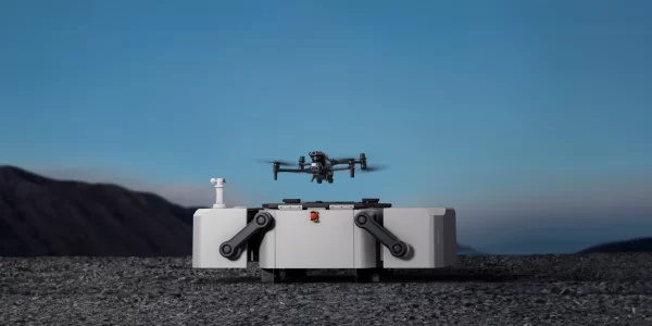
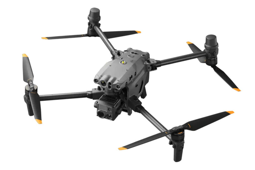
DJI Matrice 30T
The DJI Matrice 30T, with its thermal imaging capabilities, is adept for detailed mapping and surveying tasks. It allows for the capture of critical data even under challenging conditions, providing valuable thermal data layers that can be integrated into GIS mapping applications for enhanced analysis. This makes it particularly useful in urban planning, environmental monitoring, and resource management, where understanding the thermal profiles of the landscape can be crucial.
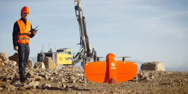
WingtraOne
As part of providing ideal mapping drone solution, the WingtraOne VTOL mapping drone is capable of performing fast aerial surveys across wide or hard-to-reach areas and producing reliable maps with unparalleled resolution and accuracy.
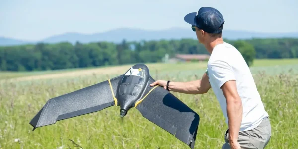
senseFly eBee X
The senseFly eBee X is a fixed-wing drone that is used comprehensively for mapping requirements. Designed to enhance the quality, efficiency, and safety of data collection, the eBee X has a camera to cater to every job, and it comes with the accuracy and coverage to meet the requirements of every project.
Related Products
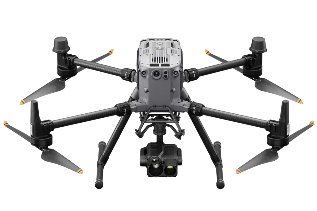
DJI Matrice 350 RTK
An upgraded flagship drone platform, the Matrice 350 RTK sets a new benchmark for the industry. This next-generation drone platform features an all-new video transmission system and control experience, a more efficient battery system, and more comprehensive safety features, as well as robust payload and expansion capabilities. It is fully powered to inject innovative strength into any aerial operation.
DJI Matrice 30T
The DJI Matrice 30T is a versatile and rugged drone built for industrial-grade applications, featuring a thermal camera alongside a high-resolution visual camera to capture critical details from the sky. It boasts advanced flight capabilities, extended range, and durability in various weather conditions, making it ideal for complex missions like search and rescue, fire fighting, and infrastructure inspection. Enhanced with AI capabilities, it provides real-time insights for faster and more informed decision-making in critical operations.