
Aero Smart UAV Trading L.L.C. is a tech company that specialises in drones and solutions in the UAE and across the GCC.
Our Office
Office 203, Al Tayer Commercial Building,Rolla Street, Bur Dubai, UAE
Phone:+97142238380
Email:sales@aerosmart.ae

Aero Smart UAV Trading L.L.C. is a tech company that specialises in drones and solutions in the UAE and across the GCC.
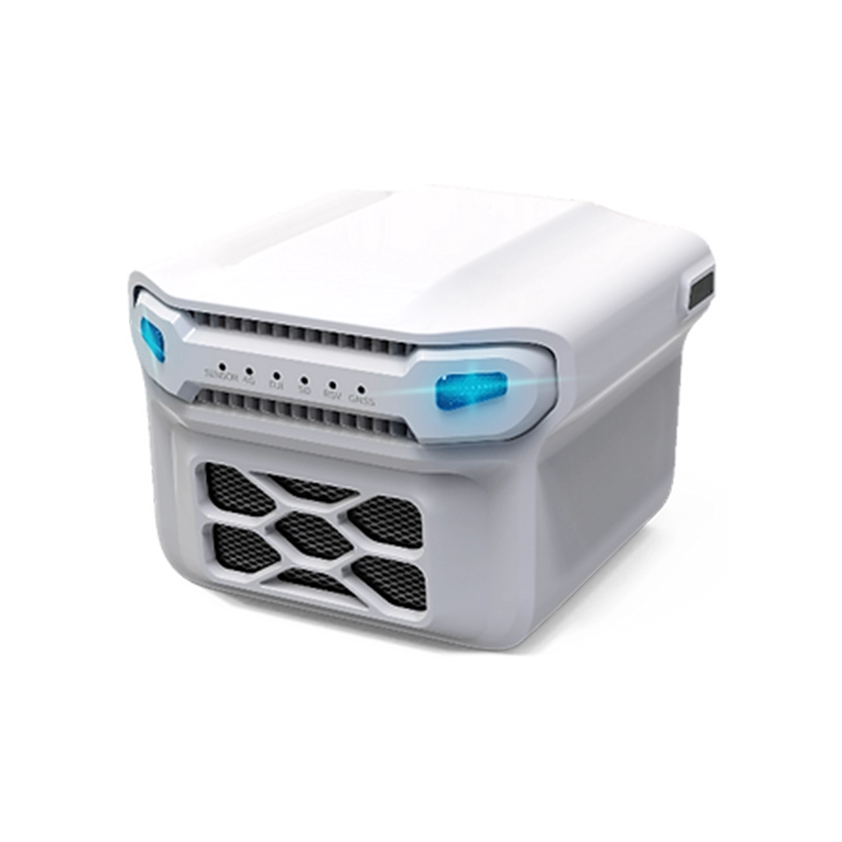
Sorability’s Sniffer4D is a cutting-edge UAV and ground-based gas detection system that accurately captures and visualizes multi-dimensional gas distributions. It offers hyper-local air pollution information crucial for decision-making in oil and gas, environmental protection, and HAZMAT response. Equipped with advanced sensors, it provides real-time data and analysis capabilities globally, making it an essential tool for ensuring safety and minimizing risk across various industries.
The UAV-based system collects data on gas concentration, geographic location, and time with precision, and transmits this information to our advanced analytical software, Sniffer4D Mapper, for real-time data analysis.
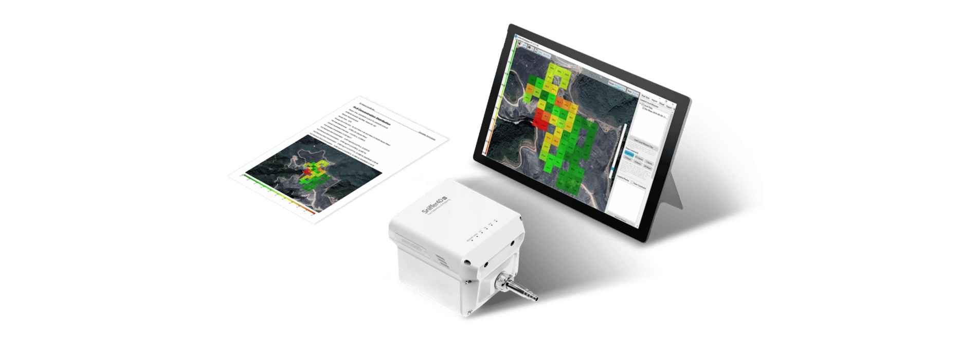
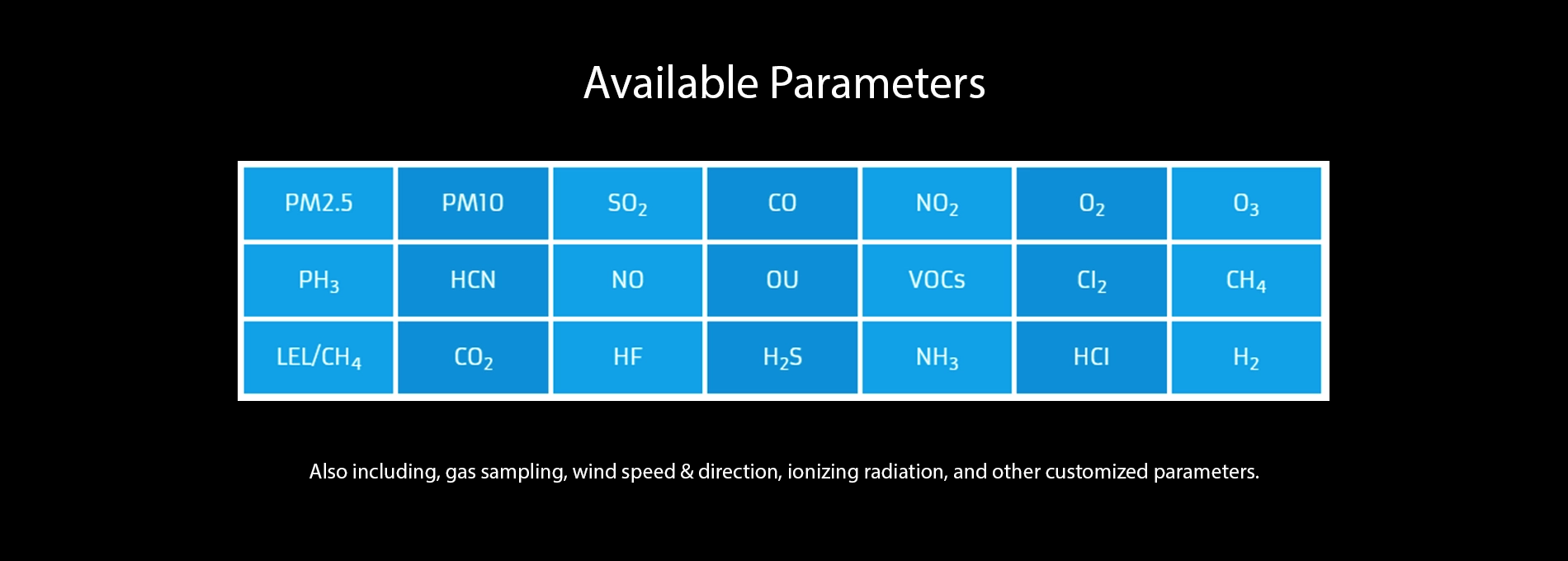
Sniffer4D can simultaneously detect up to nine gases and particle concentrations. Users can flexibly choose or modify their sensor configurations to match their specific applications and budgets.
Sniffer4D's user-friendly design ensures seamless operation with an intuitive interface and easy-to-use features, enabling users to work more efficiently and effectively. Whether you're in oil and gas, environmental protection, or HAZMAT response, Sniffer4D is a reliable tool that helps you achieve your goals quickly.
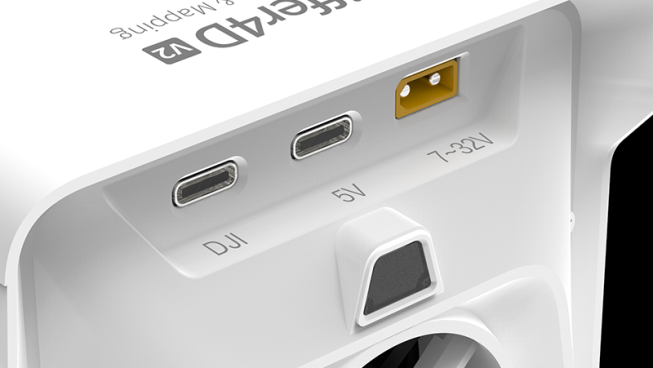
With built-in cellular and GNSS, all you need is a power cable. There are three power supply options available: PSDK, USB-C, and XT30.
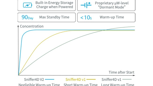
Plug & play functionality enables quick data monitoring right after startup, significantly reducing flight time and mission duration.
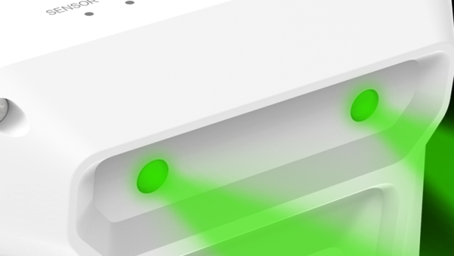
High-brightness RGB LEDs on Sniffer4D automatically change colors based on gas concentration, providing visual alerts to personnel.
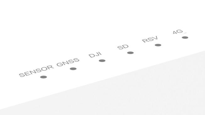
Sniffer4D’s six status LEDs enhance work efficiency by quickly conveying its status to users.
The Sniffer4D Mapper software allows users to easily control the device and process data collected during 3D mapping. It provides real-time data processing, enabling users to view the map as it is being created and offers various visualization tools to help users better understand the data.
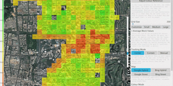
Sniffer4D Mapper software offers real-time visualization and analysis of data from one or multiple Sniffer4D units, providing intuitive and insightful information for decision-makers.
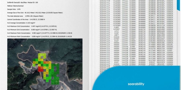
After completing a mission, simply click a button to generate a mission report with key results or a CSV datasheet containing all the raw data. Reporting your work has never been easier.
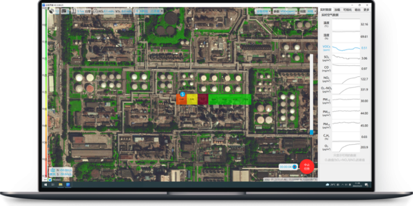
Both onsite and offsite staff can set a target on Sniffer4D Mapper. The direction and distance to the target will be displayed on DJI Pilot, guiding the pilot and minimizing the information gap between crew members.
Sniffer4D supports real-time data output to the specific software platform required by the user via the MQTT protocol.


Your journey into the extraordinary begins here. Share your details for a personalized Soarability Sniffer 4D quote and let your imagination soar.